Through emerald tea estates, misty forest, and the faint call of birds, the hike to Ella Rock is a pilgrimage for anyone who loves the outdoors. The reward at the summit is a view you will never forget.
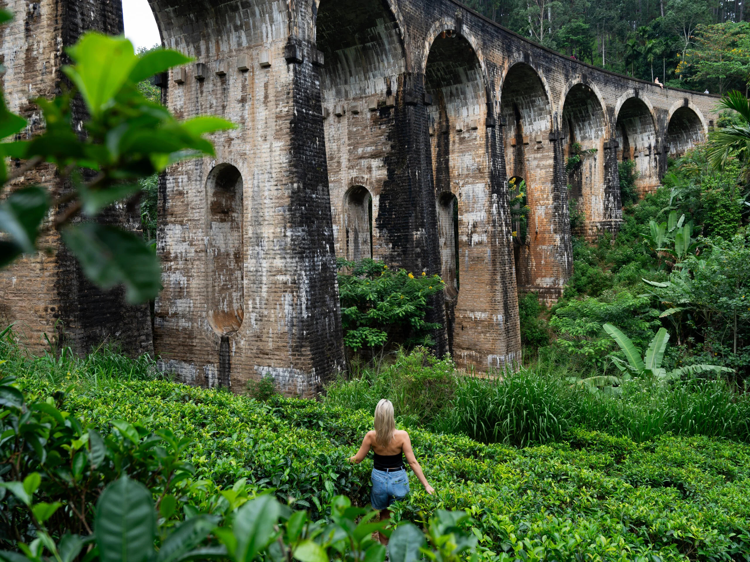
The trail begins inauspiciously — a narrow path between the railway tracks and a line of simple guesthouses — but within twenty minutes of leaving Ella village, the tea estates begin, and you are instantly transported into one of the most beautiful agricultural landscapes on Earth.
Ella Rock (1,041 metres) is the defining natural landmark of the hill country town of Ella, a rocky promontory that rises above the Ella Gap — a vast natural opening in the mountains through which the southern plains of Sri Lanka are visible from nearly 1,000 metres above. The hike to its summit is four kilometres each way: modest in distance, but demanding enough in its ascent to feel like a genuine achievement.

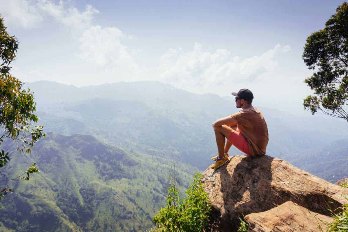
The summit of Ella Rock offers panoramic views across the Ella Gap and down to Sri Lanka's southern plains.
The Route: Through Tea Estates and Jungle
From Ella village, follow the railway tracks south toward the Nine Arches Bridge, then branch left through the Lipton tea estate. The path climbs steadily through manicured rows of tea bushes — their vivid green almost electric in the morning light — before entering a section of dense montane forest where tree ferns and wild orchids line the trail.
The final ascent is the steepest section: a series of rocky scrambles that require both hands in places, but are entirely manageable for any reasonably fit hiker. There are no facilities on the trail — no signs, no vendor stalls, no cafés — which is precisely its appeal. Ella Rock has not been domesticated. It remains a proper hike.
The Summit: A View Worth Every Step
The summit plateau opens suddenly after the last scramble, and the view is visceral. The Ella Gap yawns below: a dramatic cleft in the hill country through which the lowland jungle stretches south to the distant coast. On a perfectly clear day — rarest of things in these misty highlands — you can see all the way to the Indian Ocean. The town of Ella is visible 800 metres below, and on the horizon, the plains of the Uva Province spread like a relief map.
“The summit of Ella Rock is one of those places that recalibrates you. The scale of what you can see — and the physical effort to get there — makes the view feel earned in a way that a cable car could never replicate.”
— Trivon, Adventure Lead
Practical Guide
Expert Tip
Start no later than 7am to reach the summit before clouds typically roll in from the south around 10–11am. The trail is unmarked in places — a local guide is strongly recommended. Wear proper hiking boots (the final section is rocky and sometimes muddy), carry 2 litres of water, and pack a light rain jacket regardless of the morning forecast.
- 1Distance: 8km round trip from Ella village
- 2Elevation gain: approximately 450m
- 3Difficulty: Moderate (suitable for fit beginners)
- 4Duration: 3–4 hours round trip
- 5Best time to start: 6:30–7:30am
- 6What to bring: Good hiking shoes, 2L water, rain jacket, snacks, sunscreen
Inspired by this story?
Let our experts craft a bespoke Sri Lanka experience tailored exclusively for you.
Enquire Now